
DUBOIS, PA to ANGOLA, IN (19 December 2019) — Drove across three states today, making it through the last bit of Pennsylvania, all the way across Ohio, and into Indiana. Winter was a bit kinder weather-wise, even if it was still extremely cold, and thankfully there were no more storms.
I was able to get off work a bit early and start my drive in total daylight for a change. It was relaxing driving under blue skies, and despite the bone chilling temperatures outside, the Jeep was like a warm and cozy cocoon. I picked up with the route along I-80 heading west following the tar ribbon that connects east and west at high speed. Though I had daylight, there was not much to see from the Interstate. That is one of the big differences (and challenges) of this trip versus the last time we drove completely across the U.S.A. — this time I have to stay focused and keep driving rather than exploring the places I am driving through, and this is a bit frustrating for me, as I know that every place has a story, but this time I need to “arrive” for a specific date and so I must force myself to keep the discipline and continue on in my own personal marathon.
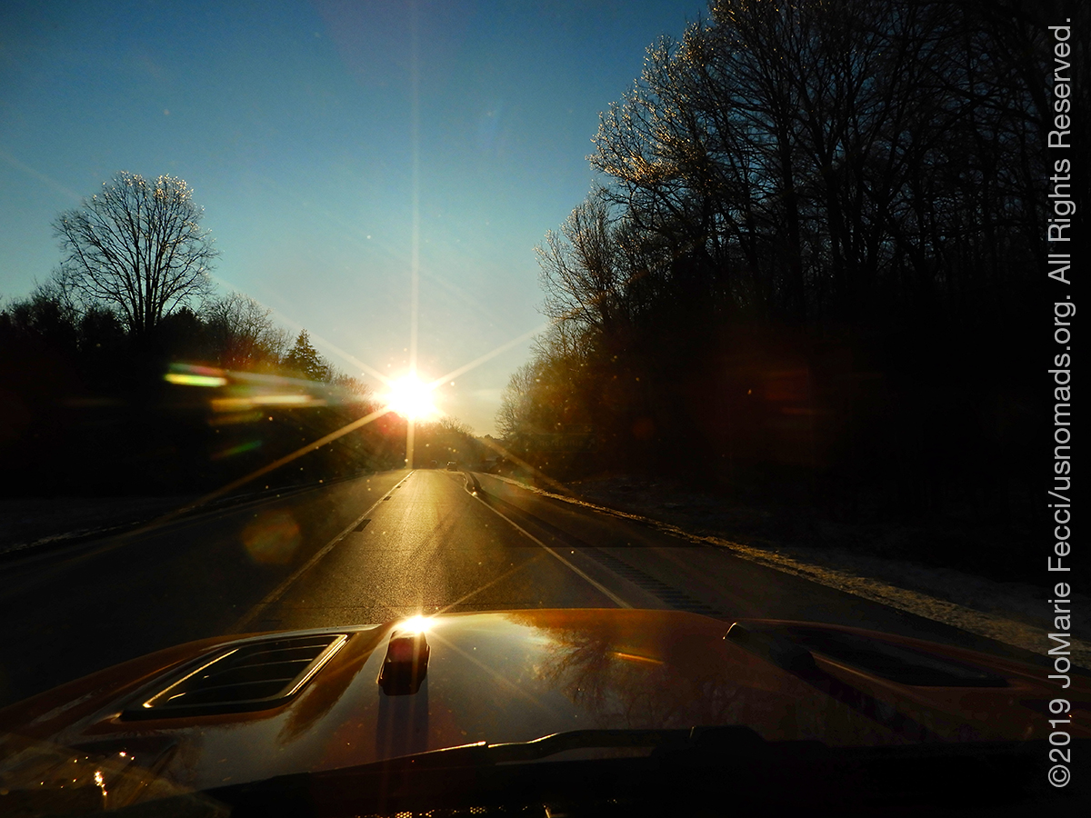
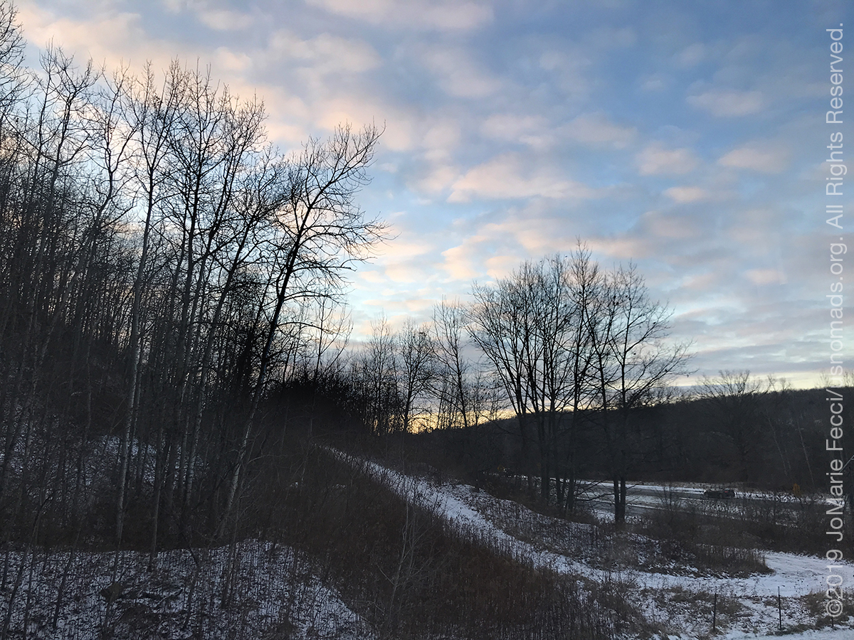
I saw the sunset as I drove (but could not make a photo of it since I was driving), and made it into Ohio. As I approached Toldeo I thought about how it would have been fun to go find the Jeep factory so that my JL could say hello to all its new relatives, but it was already dark and it would have been a long detour. I stayed focused and passed through Toledo continuing along as planned.
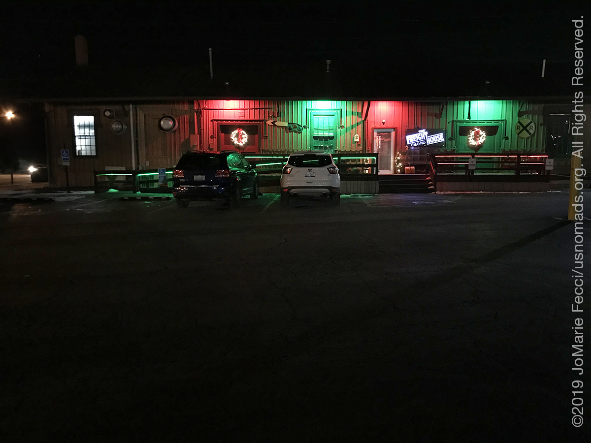
The place I tried to stop for dinner at was “closed until further notice” and so I had to find someplace else and ended up in a small train-themed bar and grill that seemed popular locally. The parking lot was icy and that reminded me to be careful for “black ice” when I got back on the road for the night’s last block of miles into Indiana.
By the time I’d reached a hotel in the town of Angola, IN, I had made up the time I lost due to the squalls yesterday and more. I was literally at the location I was supposed to be arriving to tomorrow night, and had driven a cumulative 730 miles instead of 411 miles as written into the plan, so I am definitely ahead of the game. And on that very positive note, I headed off for a solid night’s sleep just before midnight …
ABOUT THE EXPEDITION
JoMarie Fecci, of USnomads, sets off on the first holiday roadtrip with the new Jeep, overlanding from New York to the deserts of the southwest. Once out in the desert, it will be time for some scouting and pre-running in preparation for an upcoming adventure. The primary goal of this journey is to get the Jeep pre-positioned in the west, and to assess terrain, logistical concerns and approximate timeframes for future travel.
WHERE WE ARE
![]()
There are four deserts that connect across the southwest of the United States — the Great Basin, Mojave, Sonoran and Chihuahuan. The Great Basin Desert is “high desert” which can get cold and see much snow in winter. This desert covers southeast Oregon, a small portion of northeast California, most of west Utah, part of southeast Idaho, and the majority of Nevada – all except the southernmost 150 miles which are within the Mojave Desert. All this land is characterized by long, thin, parallel mountain ridges running north-south, separated by wider valleys, often containing dry lake beds (playas) or salt basins. The few rivers run inwards, with no outlet to the ocean; their waters ultimately either sink below ground or evaporate. The Mojave Desert covers the southernmost 150 miles of Nevada, a tiny area of southwest Utah, lower elevation regions of northwest Arizona (bordering the Colorado River) and most of southeast California. The topography is generally similar to the Great Basin, with isolated mountains and wide, flat plains, but temperatures are hotter, vegetation sparser, and the hills are less numerous. The Sonoran Desert of southwest Arizona and the south-eastern tip of California has perhaps the most archetypal desert scenery in the Southwest, with vast flat plains and abundant cacti, especially the giant saguaro, which occurs most densely in Arizona towards the higher elevation reaches of the desert, between 1,500 and 3,500 feet. The Sonoran desert continues a long way south into Mexico, nearly 500 miles down the east side of the Gulf of California. The Chihuahuan Desert is the second largest in the US, and also extends a long way into Mexico. It covers the southern third of New Mexico, excluding several mountain ranges, and all of far west Texas, west of a line between Del Rio and Monahans. Elevations are generally higher than in the Sonoran Desert (2,000 to 6,000 feet), and precipitation is a little greater, with most rain falling during the summer thunderstorm season. Cacti are still quite numerous but are generally smaller than to the west; instead, the dominant plants are yucca and agave, though even so, as with many other desert regions, large areas have only the ubiquitous creosote bushes and mesquite trees. For more information and a list of interesting places to visit in each desert see the American Southwest website.