
ANGOLA, IN to PERU, IL (20 December 2019) — I love the fact that I drove from “Angola” to “Peru” today! And though it was quite a lot of driving it was not exactly from Africa to South America — rather Angola, Indiana to Peru, Illinois. Still, a drive across two states and into a new timezone is quite a journey.
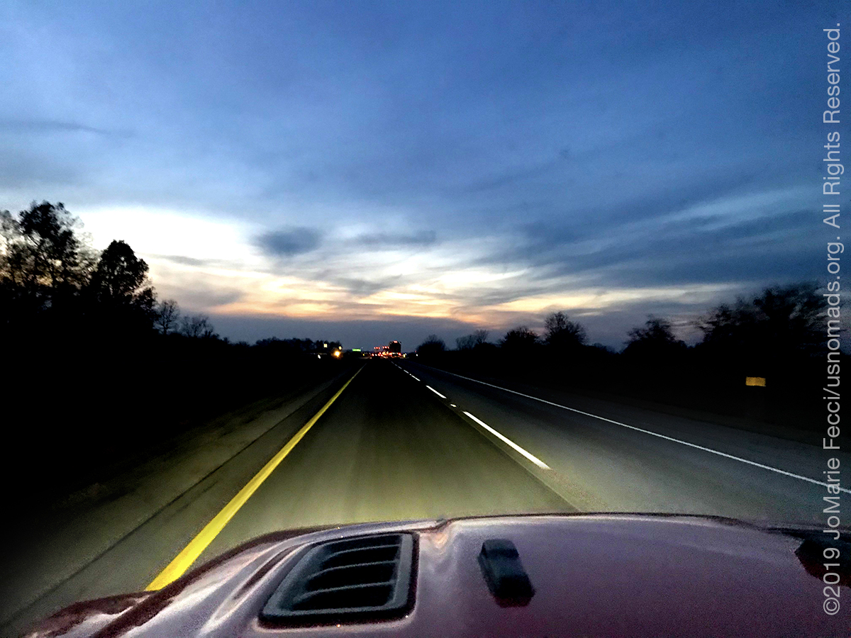
It was the last workday before the holidays, and we got off a little bit earlier than usual, so I got on the road just after sunset but before it got dark. The I-80 continued straight ahead for another night’s drive. One “problem” with the Interstate is the lack of “character” en route. It is hard to feel the transitions between the places we are passing. We can only mark the passing by the names on the exit signs. Unless we get off.
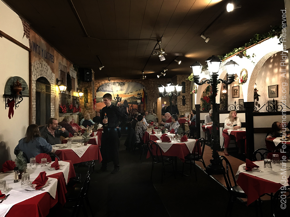
I got off the Interstate to go have dinner in a town called Valpariso in Indiana where I went to find a Spanish restaurant I had seen advertised on a billboard that looked interesting. The town was all dressed up and decorated for the holidays, and it seemed like there were plenty of fun little bar/cafe/restaurant type places if I couldn’t find “Don Quixote’s”.

It was still quite cold outside but I enjoyed a short walk around a few blocks near the main street on my way to the restaurant which turned out to be quite charming in its own way. The owner was there and was very jovial and engaged with the clientele who seemed for the most part to be locals familiar with the place enjoying a pre-holiday meal with friends. I was quite pleasantly surprised when the owner offered me a glass of Port on the house after my meal.
Dinner had been relaxed and very good and I was in an excellent mood celebrating my “freedom” from work for the next ten days or so. When I got back on the road I continued to make good progress and made it all the way to Peru, a town very close to the park I want to go hiking in tomorrow.
The temperature had finally improved too. It was now above freezing for what seems like the first time in days. 35 degrees at a little after 11pm was almost “tropical” relatively speaking. And in the parking lot my Jeep made a “friend” …

ABOUT THE EXPEDITION
JoMarie Fecci, of USnomads, sets off on the first holiday roadtrip with the new Jeep, overlanding from New York to the deserts of the southwest. Once out in the desert, it will be time for some scouting and pre-running in preparation for an upcoming adventure. The primary goal of this journey is to get the Jeep pre-positioned in the west, and to assess terrain, logistical concerns and approximate timeframes for future travel.
WHERE WE ARE
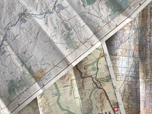
![]()
There are four deserts that connect across the southwest of the United States — the Great Basin, Mojave, Sonoran and Chihuahuan. The Great Basin Desert is “high desert” which can get cold and see much snow in winter. This desert covers southeast Oregon, a small portion of northeast California, most of west Utah, part of southeast Idaho, and the majority of Nevada – all except the southernmost 150 miles which are within the Mojave Desert. All this land is characterized by long, thin, parallel mountain ridges running north-south, separated by wider valleys, often containing dry lake beds (playas) or salt basins. The few rivers run inwards, with no outlet to the ocean; their waters ultimately either sink below ground or evaporate. The Mojave Desert covers the southernmost 150 miles of Nevada, a tiny area of southwest Utah, lower elevation regions of northwest Arizona (bordering the Colorado River) and most of southeast California. The topography is generally similar to the Great Basin, with isolated mountains and wide, flat plains, but temperatures are hotter, vegetation sparser, and the hills are less numerous. The Sonoran Desert of southwest Arizona and the south-eastern tip of California has perhaps the most archetypal desert scenery in the Southwest, with vast flat plains and abundant cacti, especially the giant saguaro, which occurs most densely in Arizona towards the higher elevation reaches of the desert, between 1,500 and 3,500 feet. The Sonoran desert continues a long way south into Mexico, nearly 500 miles down the east side of the Gulf of California. The Chihuahuan Desert is the second largest in the US, and also extends a long way into Mexico. It covers the southern third of New Mexico, excluding several mountain ranges, and all of far west Texas, west of a line between Del Rio and Monahans. Elevations are generally higher than in the Sonoran Desert (2,000 to 6,000 feet), and precipitation is a little greater, with most rain falling during the summer thunderstorm season. Cacti are still quite numerous but are generally smaller than to the west; instead, the dominant plants are yucca and agave, though even so, as with many other desert regions, large areas have only the ubiquitous creosote bushes and mesquite trees. For more information and a list of interesting places to visit in each desert see the American Southwest website.