
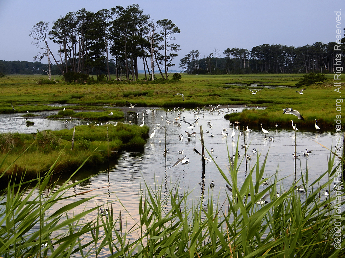
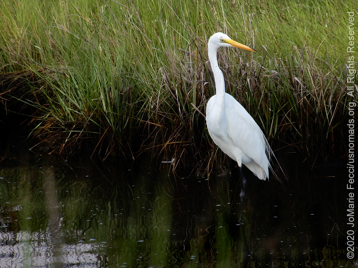
OYSTER POINT, CROATAN NATIONAL FOREST, NC (18 July 2020) — In the morning I made a last loop back down the main access road of the Chincoteague National Wildlife refuge on the unlikely chance I would see the ponies closer. Of course they were no closer than yesterday, seemingly banished to that distant field far across the marsh. Or maybe it is we, the visitors, who are banished to the road. Either way I had no better chance to get photos of the ponies today. I did, however, get some nice shots of the marsh birds.
With 300-miles of driving to do today I couldn’t linger. According to Google Maps it would take about five-and-a-half hours to get from Chincoteague in Virginia all the way to the place I planned to camp in the Croatan National Forest in North Carolina. I had learned to add a few hours into that estimate to account for stops en route for things like food, gas, bathrooms and making photos. The first part of the drive would be pretty scenic, but then I would need to get onto the highway for the longer distance until I reached the area of the forest.
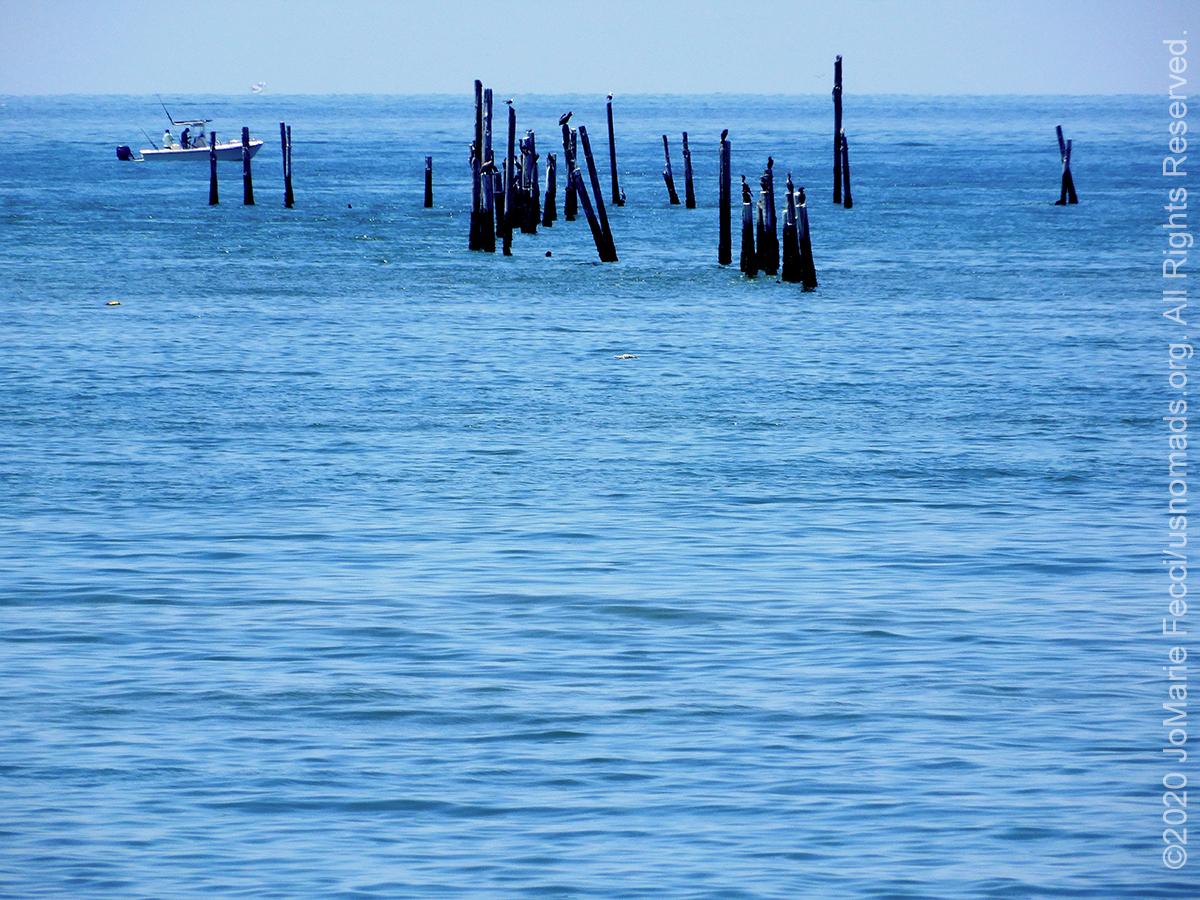
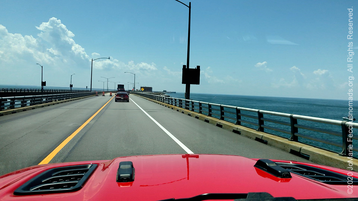
Taking the U.S. Route 13 down the Delmarva peninsula is a beautiful drive that leads to the Chesapeake Bay Bridge Tunnel. An incredible engineering feat, the 20-mile long “CBBT” allows us to drive straight across the bay, over and under the open waters where the Chesapeake Bay meets the Atlantic Ocean. The drive is something to experience, as you have the impression of actually driving ON the water, and then descending down into it to get to the tunnel sections. It is a journey of elevation changes, with two high-level bridges combined with a series of low-level trestles interrupted by two approximately one-mile-long tunnels that go beneath Thimble Shoals and Chesapeake navigation channels. There are manmade islands, each approximately 5.25 acres in size, at each end of the two tunnels, and between North Channel and Fisherman Inlet, the route crosses the water at-grade over Fisherman Island. It takes about 20-30 minutes to get to the other side and there are a couple of scenic turnoffs for photos.
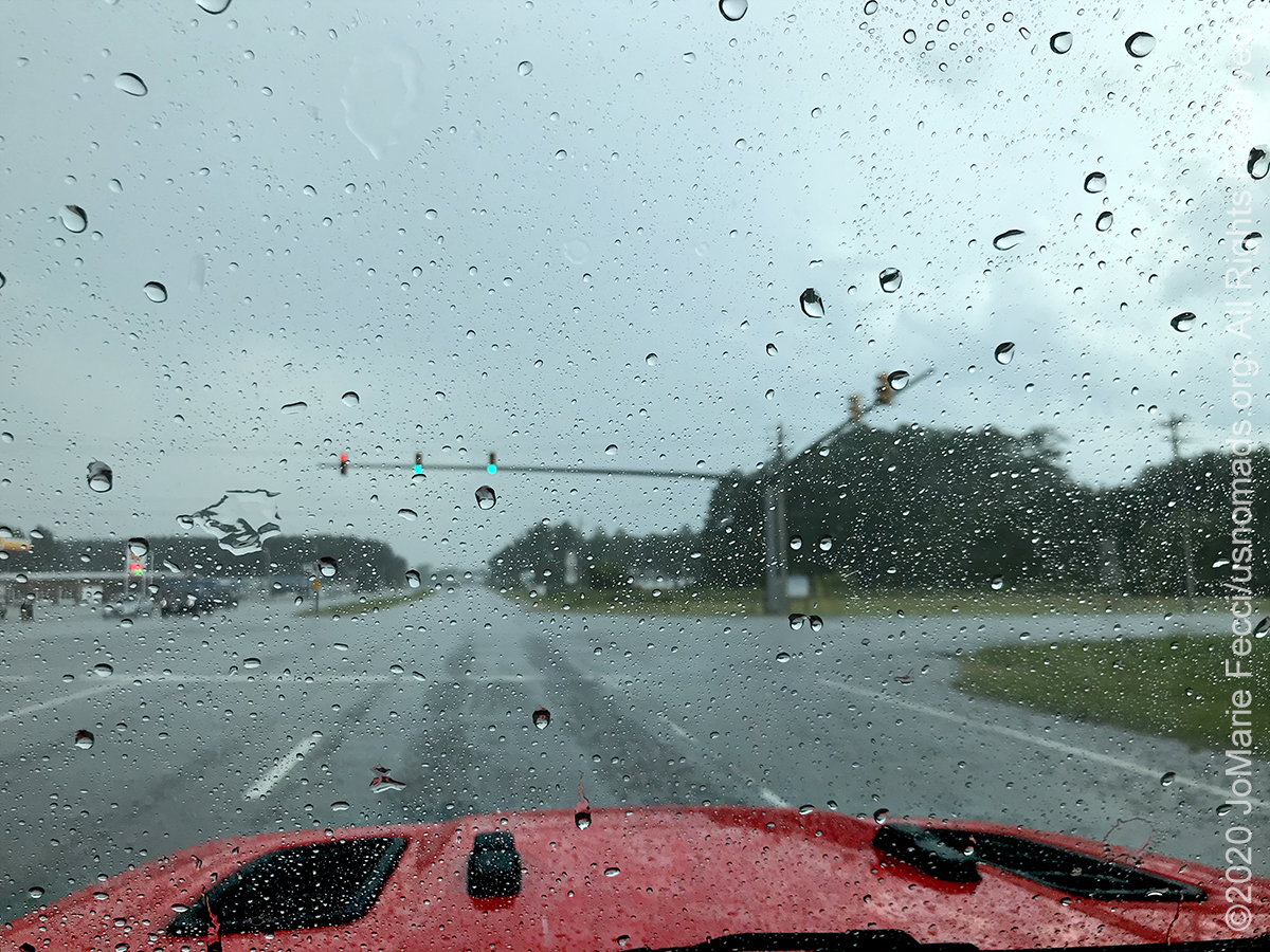
Continuing southbound on Route 17, I passed the turnoff for the Outerbanks and Cape Hateras, and not long after, it started raining. The onboard GPS was lighting up with storm warnings, too. I kept driving south, hoping it would stop, but instead it got heavier and as I approached the area of the Croatan National Forest it was so heavy I actually couldn’t see while I was driving. It would be hellish to try to put up a tent and camp in such a storm, so I thought maybe I should book a hotel for the night. I pulled over to see what I could find via hotels.com. Everything even remotely near to my destination was full. I would have to camp regardless of the weather, and didn’t relish the idea of trying to sleep inside the Jeep with all the gear–it wouldn’t be possible to recline the seat and I would not get a good night’s rest.
When the rain let up a little bit, I got back on the road, being extra careful to avoid hyrdoplaning at speed. About half an hour from camp, I passed through the edge of the storm, and everything was completely dry. I would not even have to put my tent up in the mud. I felt like it was a good omen.
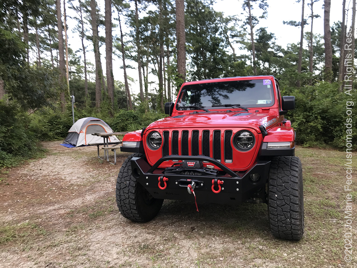
Oyster Point campground is a very small National Forest campground with less than twenty sites and knowing I would be arriving late in the day, I had reserved my site in advance to be sure I would have a spot. The last part of the route to camp felt very remote, I passed a prison and some swamp land, and began to wonder if I would be safe at my site. I wasn’t sure if it was better to hope the campground was empty or that there were other people. And would I be camping in a real swamp — that would be ironic after spending days looking for vestiges of “The Great Cypress Swamp” up north — I didn’t particularly want to sleep deep in the heart of one, especially after experiencing the mosquitoes at Chincoteague. Just as I was imagining all the things that could be nasty in a wet muddy swamp at night, I arrived to the turnoff for camp.
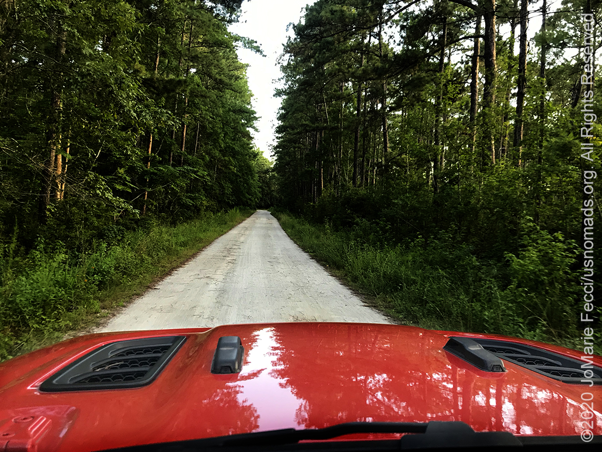
It was a nicely graded dirt road in a seemingly dry forest and I felt a first wave of relief. As I pulled into the camp loop I saw that each individual camp site was carved out of the forest and cleared of brush, but with the thick vegetation surrounding the spot left in tact to provide excellent privacy. It was the nicest campsite of the journey so far.
There was only one minor glitch. There was someone’s tent already set up in my spot. I double checked my reservation and it was definitely my spot. As I was looking at my phone to be sure, the campground host came over and I explained the situation to her. She checked her reservations and said she recalled putting my “reserved” paperwork on the post outside the site. She told me to set up my tent and she would tell the other campers to move. I said I would be ok moving to a different site, but apparently they were all booked. I felt bad for the other people. At the same time, I DID have a paid reservation, and it’s not like I could go somewhere else at this point. I started unpacking the Jeep and preparing my tent just as the other folks pulled up. The campground host explained the situation and the folks apologized and took down their tent without arguing, so I assume they kind of knew they weren’t supposed to take that spot but tried anyway. Luckily, the campground host was able to find them another place to stay, so I did not feel too terrible about it in the end.
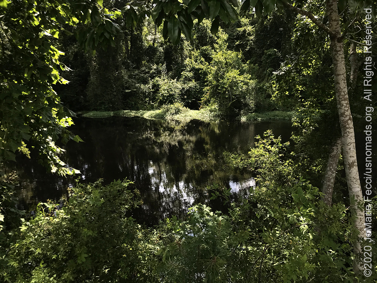
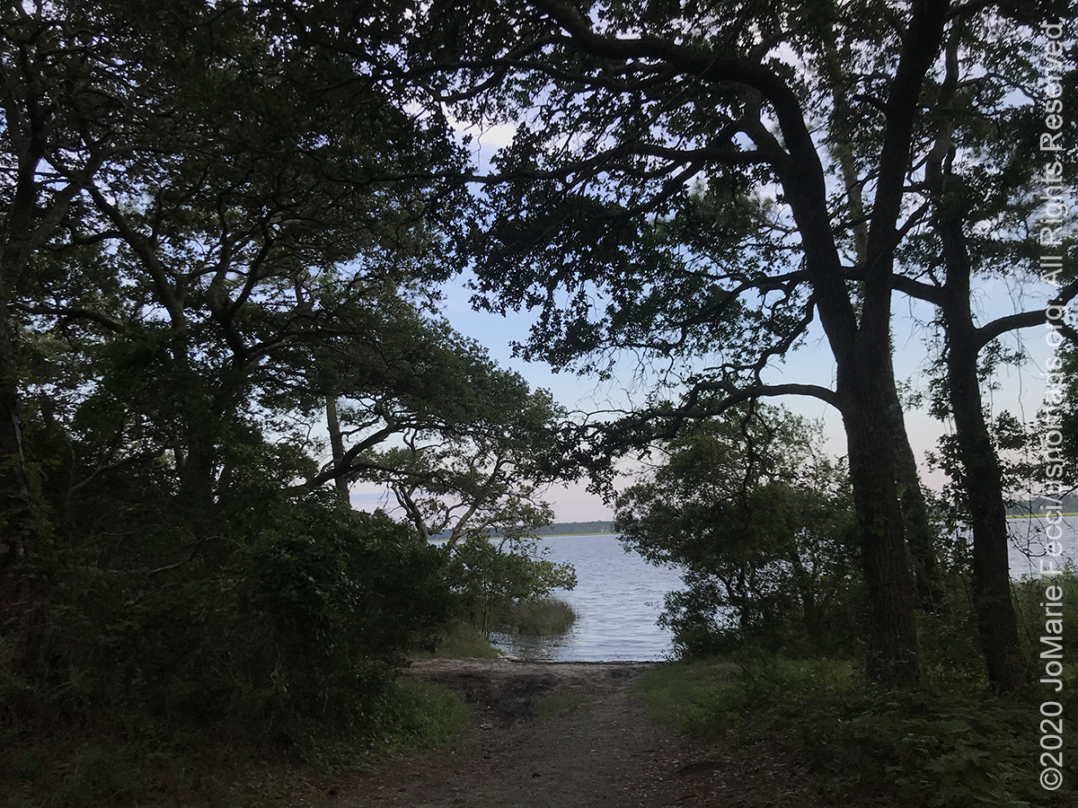
I set up my tent quickly and then went for a short walk to orient myself to the campground and the surrounding terrain. Oyster Point is on the Neuse River, the longest river entirely contained within North Carolina, which feeds into the Atlantic via the Pamlico Sound south of New Bern. There’s a shallow water boat ramp right behind the campground near the trailhead for the Neusiok Trail, a 21-mile hiking trail that meanders through cypress swamps, loblolly pines and vast bogs of thick vegetation roughly following the river’s course inland.
![]()
The sun was getting ready to set between the trees, and I preemptively started my fire to deter the inevitable mosquitoes. I also lit some mosquito repellent lanterns and turned on some kind of electronic anti-mosquito gadget that I had bought at Wal-mart on a whim, arranging them all in a way to create a “perimeter” around my camp chair. The air was incredibly still. There was no breeze at all. My fire crackled to life and I settled in to enjoy the evening under the stars.
I watched the night sky arrive and looked for the Big Dipper and found the North Star, and stayed out quite late appreciating the moment. When I finally went to bed, it wasn’t long before I was drenched in sweat and almost felt like I could barely breathe. I had put up the small tent, because I was only staying one night and it is much quicker to put up and take down, but I quickly realized it doesn’t have the same level of air circulation as the larger tent. The small tent only has one air vent, on the front, and even though I had that open, the stillness of the air combined with the southern humidity was suffocating. I seriously thought about just setting up the cot outside and sleeping directly under the stars — but then I remembered the mosquitoes, and stayed in the tent, tossing and turning on top of my sweat drenched sleeping bag, while listening to the nighttime sounds of the forest, hoping they would lull me to sleep.
ABOUT THE EXPEDITION
JoMarie Fecci, of USnomads, sets off on a summer roadtrip around the east coast of the U.S. for a few weeks of exploration, camping, and Jeep fun. The focus of this trip is really just enjoying what the road has to offer and checking out some different trails in the region.
WHERE WE ARE
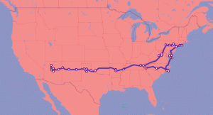
This trip will be a loop starting and ending on Long Island in New York.